The Mill River
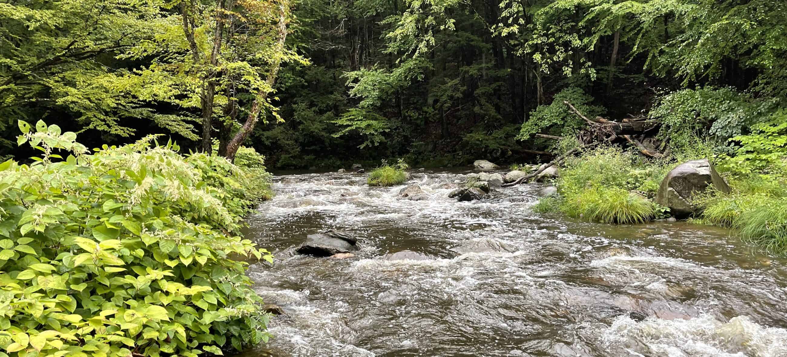
Of the scores of Mill Rivers in New England, few have so richly reflected the Native and American histories as has the Mill River that runs 20 miles through the heart of Williamsburg and Northampton, then into the great Connecticut River in Easthampton, Massachusetts.
Physical Attributes
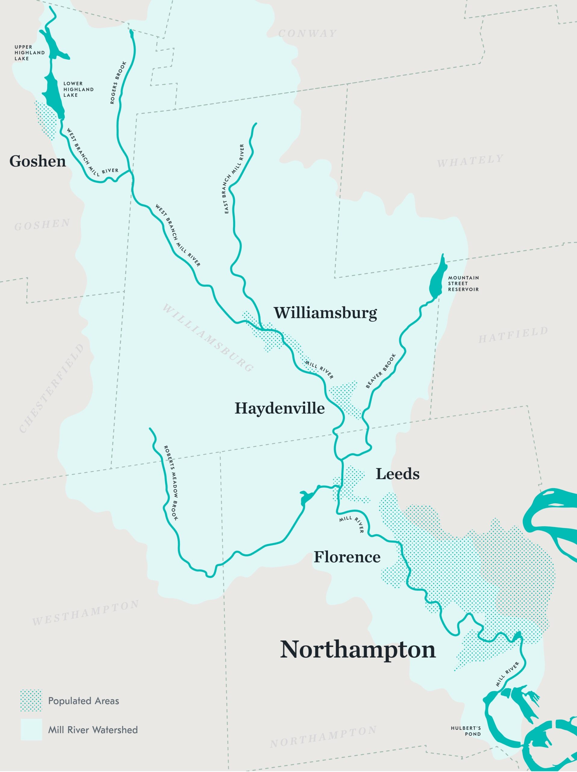
Tumbling out of its headwaters at Upper Highland Lake in Goshen at 1,440 feet above sea level, the Mill River’s West Branch drops 910 feet to Williamsburg, then down another 200 feet to a waterfall at Leeds (elev. 330 feet) and yet another 100-foot drop to Florence dam where it flattens out. The Mill River then winds its way to the Smith College dam at Paradise Pond, dropping a final 20 feet to the meadows of the Connecticut River at Hulbert’s Pond in Easthampton.
On its way to its confluence with the Connecticut, the Mill River has carved a sinuous valley that left three hills in Nonotuck—Hospital Hill (or Pancake Plain), Fort Hill, and Meetinghouse Hill.
Settlements
Aboriginal people settled in and around the Mill River at least 10,000 years ago, managing their settlements, meadows, and woodlands to suit their needs. The area around Northampton and Hadley, on the Connecticut River’s left bank, was named Nonotuck, the same name as the group of Indians who had been living there for centuries. They called the river Pawagonnick (place of flat stones for pounding corn into meal) or Cappowongonick (the sheltered place in the river’s bend).
English Settlement
The first English settlers in the 1650s renamed Nonotuck, “Northampton,” and established their primary settlement on Meetinghouse Hill. Within the first 20 years, the colonists had pushed Natives to the margins of Northampton and occupied the whole valley. Northampton’s layout followed the paths of the Mill River and its tributaries, giving almost every household property along a waterway.
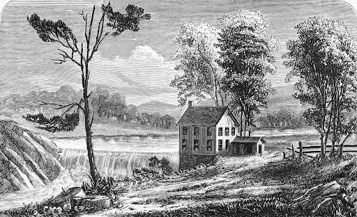
The colonists found the Mill River fit their needs almost perfectly. Few tributaries to the Connecticut River combined a manageable size and length coupled with steep slopes in the upper reaches and falls and cascades along its middle course plus plentiful water in its lower reaches. Few New England streams, therefore, supported a similar concentration of factory villages—a half dozen of them along a dozen miles of river.
Mill River Mills
English settlers began building mills on the river within the first decade of their arrival, chiefly to grind corn and wheat and to saw timber. The first dam at Paradise Pond, on what is now the Smith College campus, was built in 1666, and was called the Upper Mills. The site became the mill center of Northampton for 150 years.
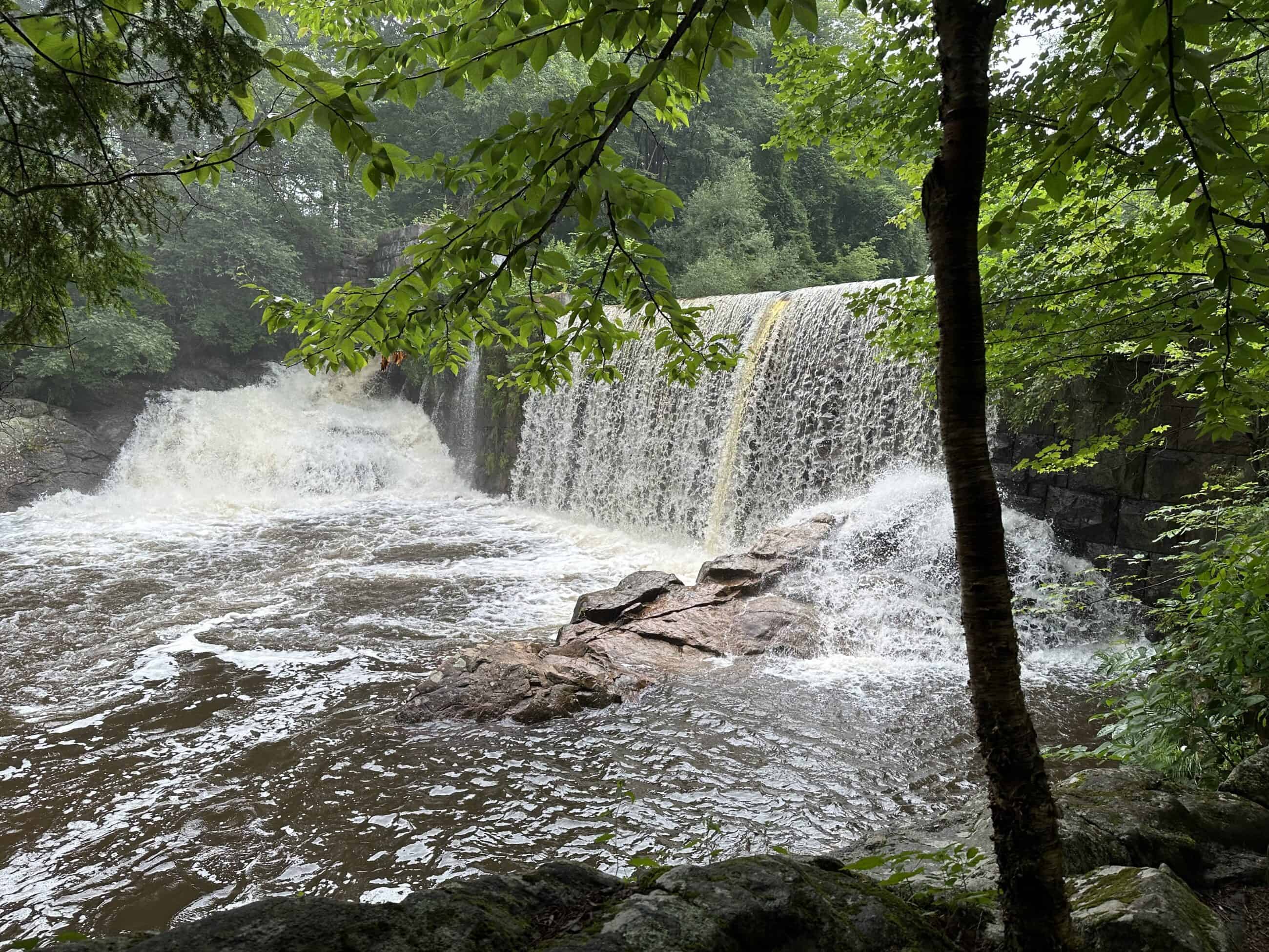
Mill River industries reflected America’s rapid growth during the Industrial Revolution when early textile mills were built in the early 1800s in the villages of Leeds and Williamsburg. The mid-19th century witnessed the construction of several nationally important factories: the Nonotuck Silk Mill (later named Corticelli) and Prophylactic Brush companies in Florence, the Bay State Cutlery in Bay State Village, and Maynard’s Hoe Shop at Paradise Pond.
The Williamsburg Flood Disaster of 1874 destroyed most factories upstream of Florence but had little impact on the downstream factories, all of which continued production until the 1930 Great Depression, after which a few continued to operate until the end of the 20th century.
Flood History
Prior to the mid-20th century, when the climate was colder and ice built up several feet thick on the Connecticut River, both the Connecticut and Mill Rivers would flood annually, especially in February and March. During spring freshets, river ice formed dams that backed up water, sending river waters out onto the flood plain. Following Native patterns, the first settlers built their settlements on land high enough to avoid flooding.
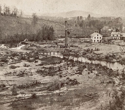
Eventually, however, Northampton’s inhabitants built houses down toward the meadows and flooding became a huge problem. After 1800, major floods occurred every five years, and several floods earned names, such as the Jefferson Flood of 1802 and the Lincoln Flood of 1862. The Great Flood of 1840 sent one large bridge crashing into the next one downstream and changed the course of the great river. The most destructive and fatal flood, the 1874 Williamsburg disaster, was not a natural flood, but one caused by a dam collapse.
An enormous spring freshet in 1936 forced Northampton to ask the U.S. government to help construct a series of dikes to protect the city and to divert the river out of its downtown. Northampton has not experienced a similar incident since that time.
Why the Mill River Matters
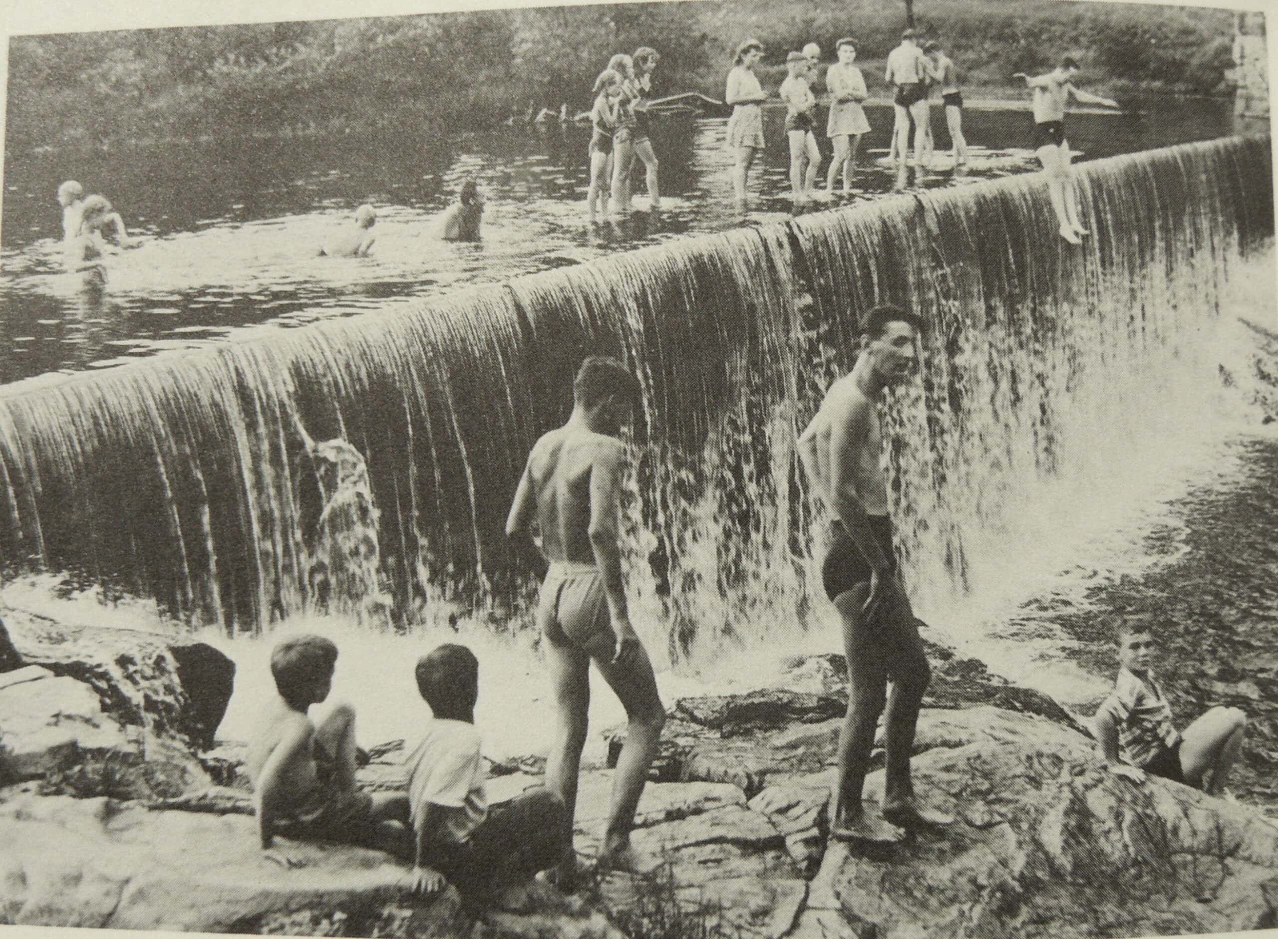
The Mill River matters because it is part of the essence of this place. Generations of children have played and swam in it, searching for treasure from buttons and pottery to river life—crawfish, mussels, minnows, and bugs. It is a deep part of its residents’ lives and memories.
The Mill River carries both Native- and Euro-American stories in its waters. The river bears a deeply American character, mirroring the history of this nation. We must give thanks to the Mill for doing what rivers can do so well—memorialize our past and float us toward the future.
FURTHER READING
For more information on the Mill River and the conservation areas that surround it, check out these downloadable overviews written by Laurie Sanders:
ADDITIONAL RESOURCES
Hannay, Agnes, “A Chronicle of Industry on the Mill River,” Smith College Studies in History 21, nos. 1-4 (1935-1936): 1-142.
Sharpe, Elizabeth. In the Shadow of the Dam: The Aftermath of the Mill River Flood of 1874. NY: The Free Press, 2004.
Sinton, John. Devil’s Den to Lickingwater: The Mill River Through Landscape and History . Amherst, Mass.: Levellers Press, 2018.
“The Mill River,” a documentary film by Stan Sherer, 2023 (43 minutes, color and b&w).