Barrett Street Marsh Conservation Area
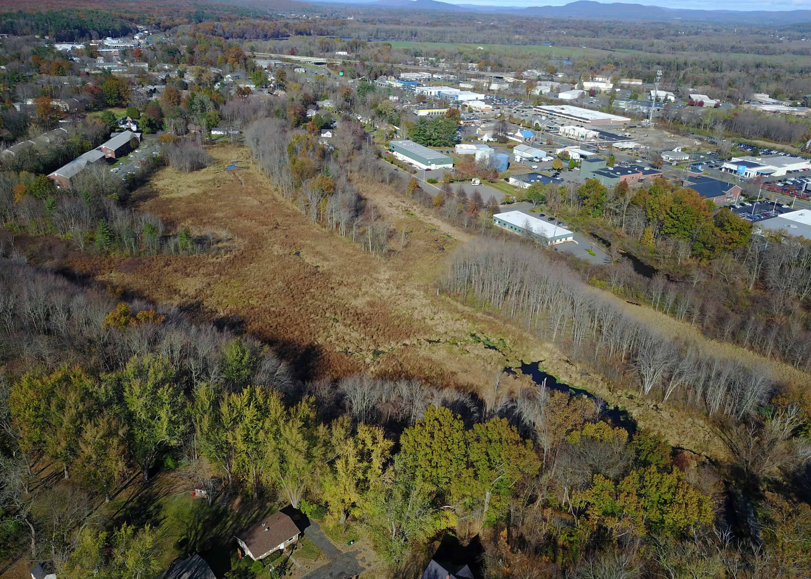
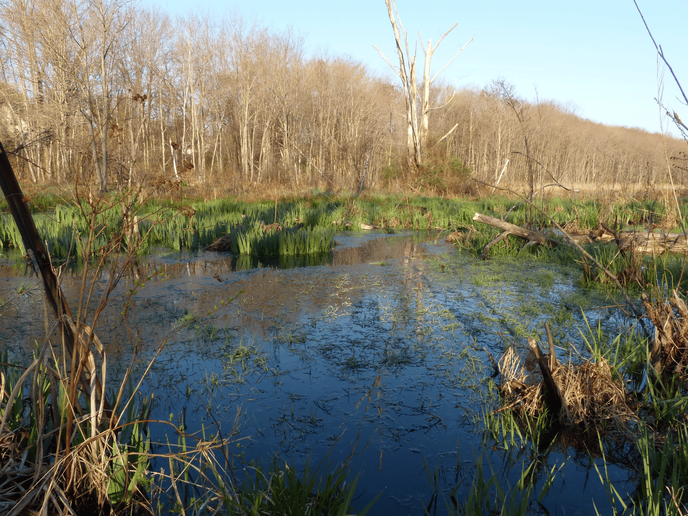
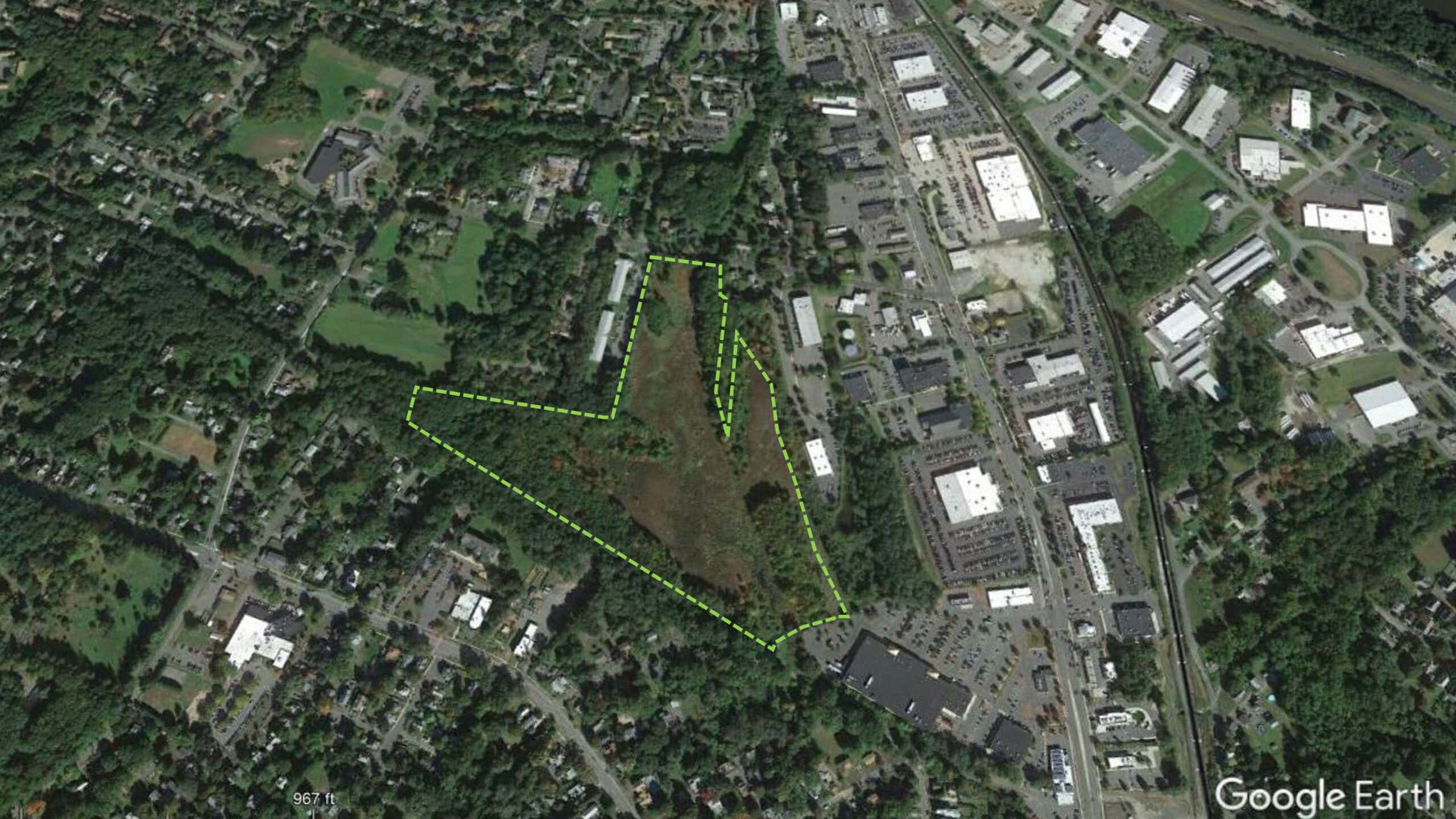
This 25-acre conservation area was acquired by the town of Northampton in 1825. It was then part of a larger property that was purchased for the town’s Alms House and its farm, which supported the residents. When the Alms House was operating (1825–1920), the land that now forms the conservation area was used for pasture and hay. After the Alms House closed, this part of the property was transferred to the city’s Department of Public Works, which, until the 1960s, maintained the drainage ditches and leased the land to local farmers for hay. Wetland protection laws in the 1960s ended the ditching, and by the early 1970s, the former pasture and hay land had become a rejuvenated marsh. In 1975, the Department of Public Works transferred the management of the wetland to the city’s Conservation Commission.
For a more complete understanding of the human and natural history of this conservation area, click here.
Wildlife Camera Footage from Barrett Street Marsh
Life at the Torn Trunk, Winter 2025
In spite of being less than a mile from Interstate 91, the Barrett Street Marsh is a remarkably important place for wildlife–a green oasis where some animal species live year round and many others pass through. During the last four years the fallen cherry tree trunk has lost all of its bark and this summer, this section was torn apart by a mother bear. This clip documents the importance of fallen, decaying logs and the value of even small patches of wildness for local wildlife.
The Other End of the Fallen Tree, May – July 2025
This video captures wildlife activity at a fallen trunk. To put this video in its historical context: from 1825 to the early 1970s, in Massachusetts, many of the animals in this video–deer, bobcat, porcupine, bear and pileated woodpecker –were exceedingly rare (due to habitat changes and overhunting) and opossums and coyotes hadn’t yet arrived in the state. Short version: lotsa changes during the last 200 years!
May in the Barrett Street Marsh, 2025
Here’s a 1.5 minute compilation from a camera located in a slightly higher patch of land, with the marsh in the background. Red maple dominates the canopy, while the understory includes an increasing and alarming amount of glossy buckthorn (a big change during the last decade).
Three Months in Three Minutes, Jan. – Apr. 2022
3 months in 3 minutes….and holy smokes, what a lot of activity–especially at night! Predators, prey, predators with prey…and more. In addition to behaviors, what this short video highlights is the value that wetlands play for wildlife –even relatively small areas like this 25-acre conservation area, which is surrounded by commercial and residential development and has been ditched, dredged, filled, and manipulated by people for at least 200 years.
See our Youtube channel playlist “Wildlife in Wilder Places” for more wildlife content at Barrett Street Marsh.