Maps and Atlases
Historic maps of Northampton & Hampshire County
Below is a chronological list of selected maps and atlases from the collection. Click on the titles to view a larger PDF. These and additional maps are available for in-house viewing by appointment.
- Map of the original 17th Century Home Lots
- Compiled from town records by James Russell Trumbull and published with History of Northampton Massachusetts from its Settlement in 1654, vol. I, by James Russell Trumbull, Northampton, Mass: Press of Gazette Printing Co., 1898.
- Plan of Northampton, 1794
- Surveyed by J Denison, dated November, 1794 (copy).
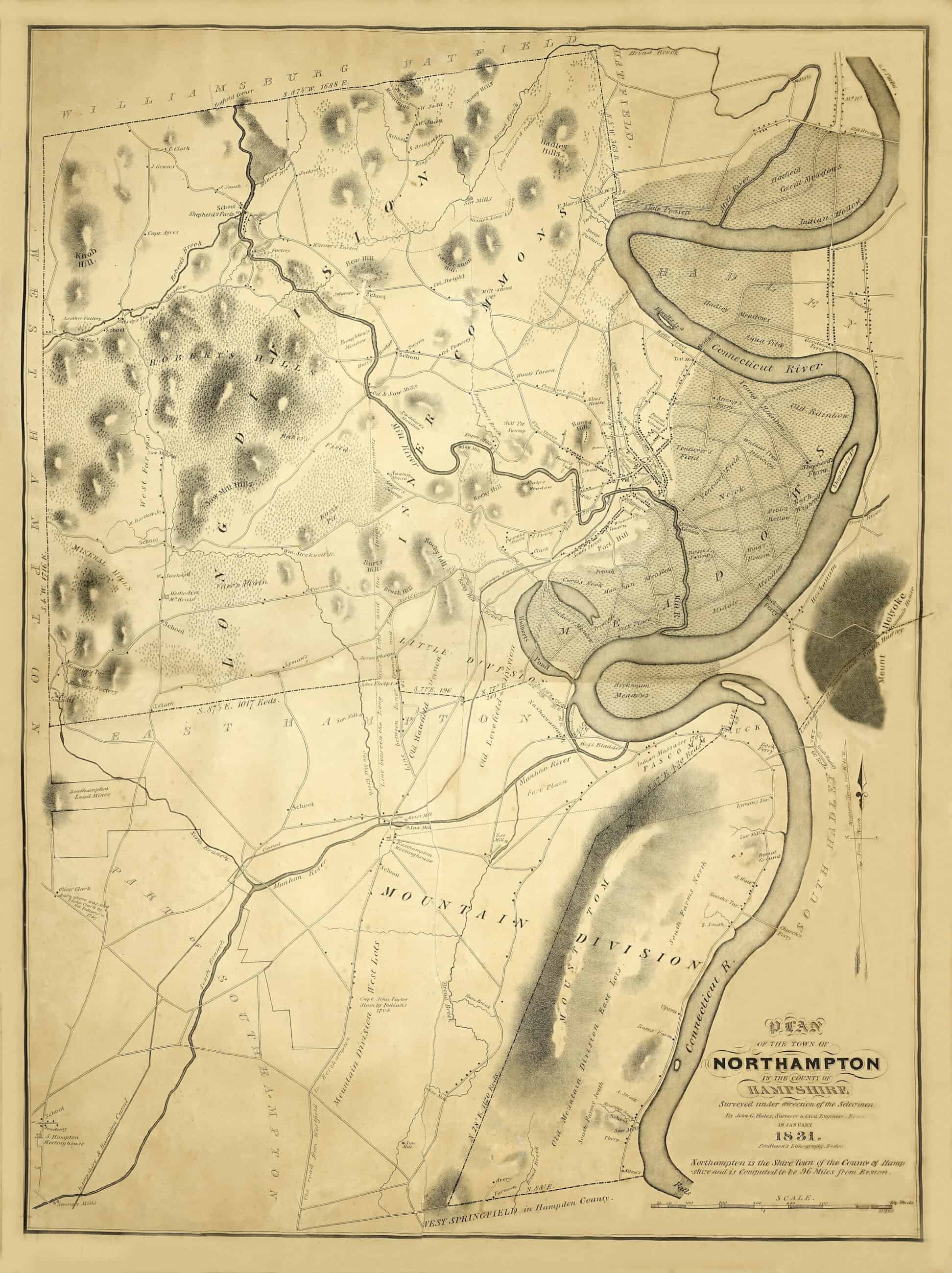
View the original 1794 map at the Leventhal Map & Education Center at Boston Public Library. - Map of Northampton, Mass., 1831
- Plan of the Town of Northampton in the County of Hampshire surveyed under direction of the Selectmen by John G. Hales, Surveyor & Civil Engineer, Boston, in January 1831, Pendleton’s Lithography, Boston. Historic Northampton (ID 72.668)
- Map of Northampton, downtown area, 1860
- Map of a section of Northampton, Massachusetts featuring a Northampton Business Directory. Henry F. Walling, New York, New York. Historic Northampton (ID 1983.93.1)
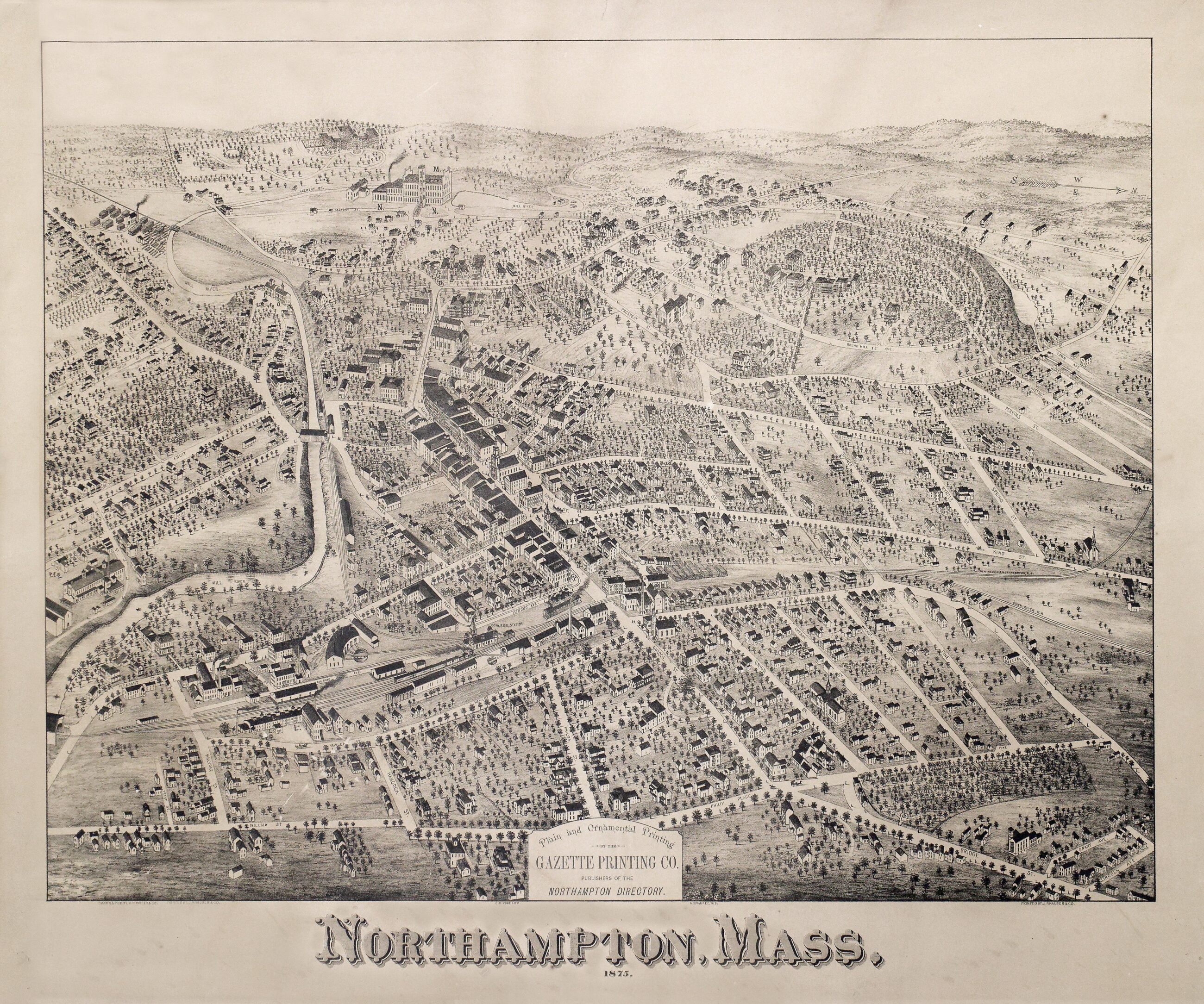
- County Atlas of Hampshire Massachusetts, 1873
- “From actual surveys by and under the direction of F.W. Beers.” Published by F.W. Beers & Co. Included are property maps and plans of the towns and villages in Hampshire County, plus maps of the state and of Hampshire Co.; and the Census of the United States, by counties, for 1870. Historic Northampton (ID 1976.155.5)
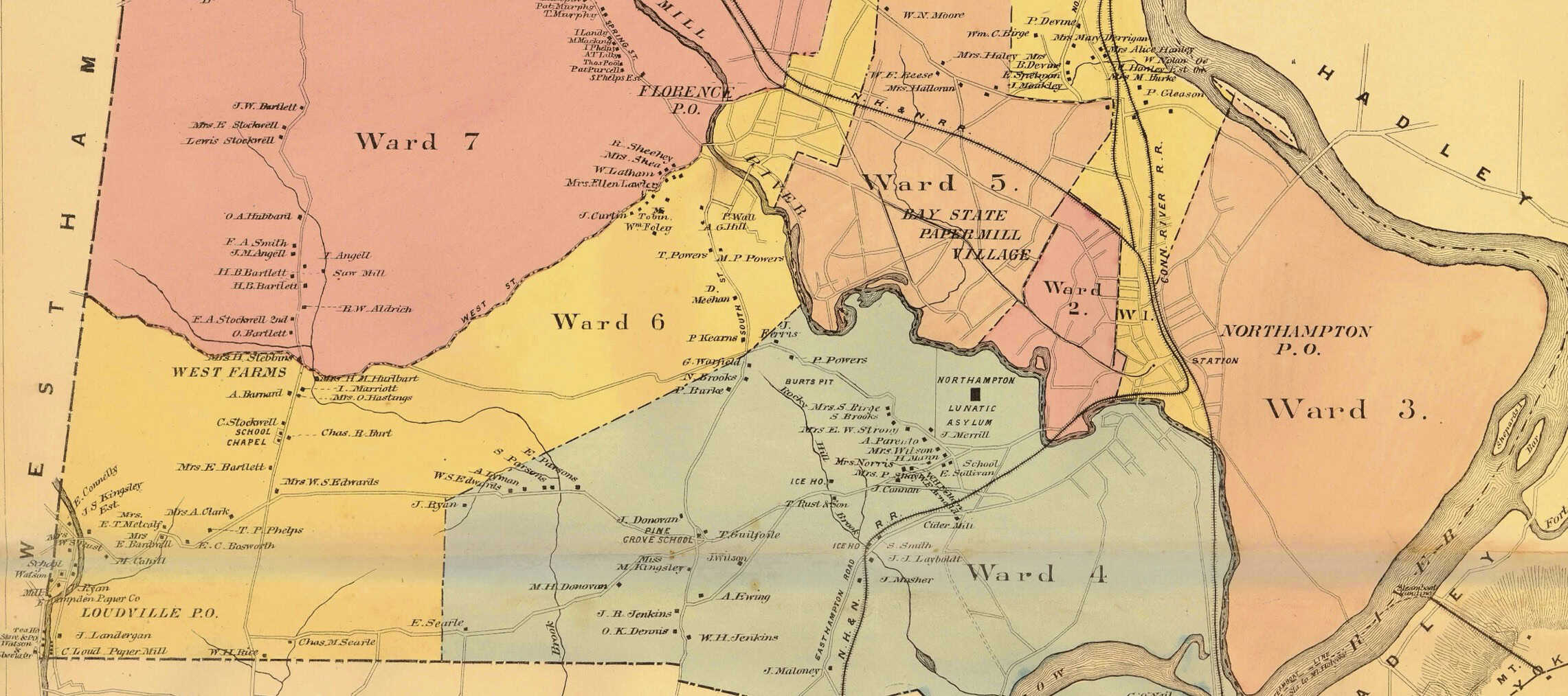
- Illustrated map of Northampton, Mass., 1875
- Birds-eye, pictorial map of Northampton, with black & white illustrations of buildings, landmarks and landscape. Drawn and published by H.H.Bailey & Co. Historic Northampton (ID 2024.1.8)
- Atlas of Northampton City, Massachusetts, 1884
- “Compiled from recent and actual surveys and records under the direction of the publishers.” Published by George H. Walker & Company, Boston, 1884. (HN ID 2022.17.1). Includes map of the state; ward maps of Northampton; and detailed street and property maps. Historic Northampton (ID 2022.17.1)
- Atlas of Northampton and Easthampton, 1895
- “From Official Records and Surveys, under the Direction and Personal Supervision of D.L. Miller, [et al.].” Published by D. L. Miller and Company, Phila., 1895. Includes detailed street and property maps (HN ID 1986.49.1).
Additional Resources
Historic Northampton has additional maps of Northampton and surrounding towns, circa 1830-2000. There are also special maps including a WWII Air Raid Warden’s map; maps of the Hampshire-Hampden Canal; and property maps of Northampton State Hospital; Pro-Brush Corporation; and Historic Northampton.
Listed below are additional online resources:
City of Northampton website of contemporary and historical maps.
Historical Atlas of Massachusetts. Richard W. Wilkie and Jack Tager, eds., Amherst: UMass Press, 1991.
Leventhal Map & Education Center at Boston Public Library.
Library of Congress Geograph and Maps Division, Digital Collections.
Library of Congress, Geography and Map Division, Sanborn Maps Collection (of Northampton, Mass.)